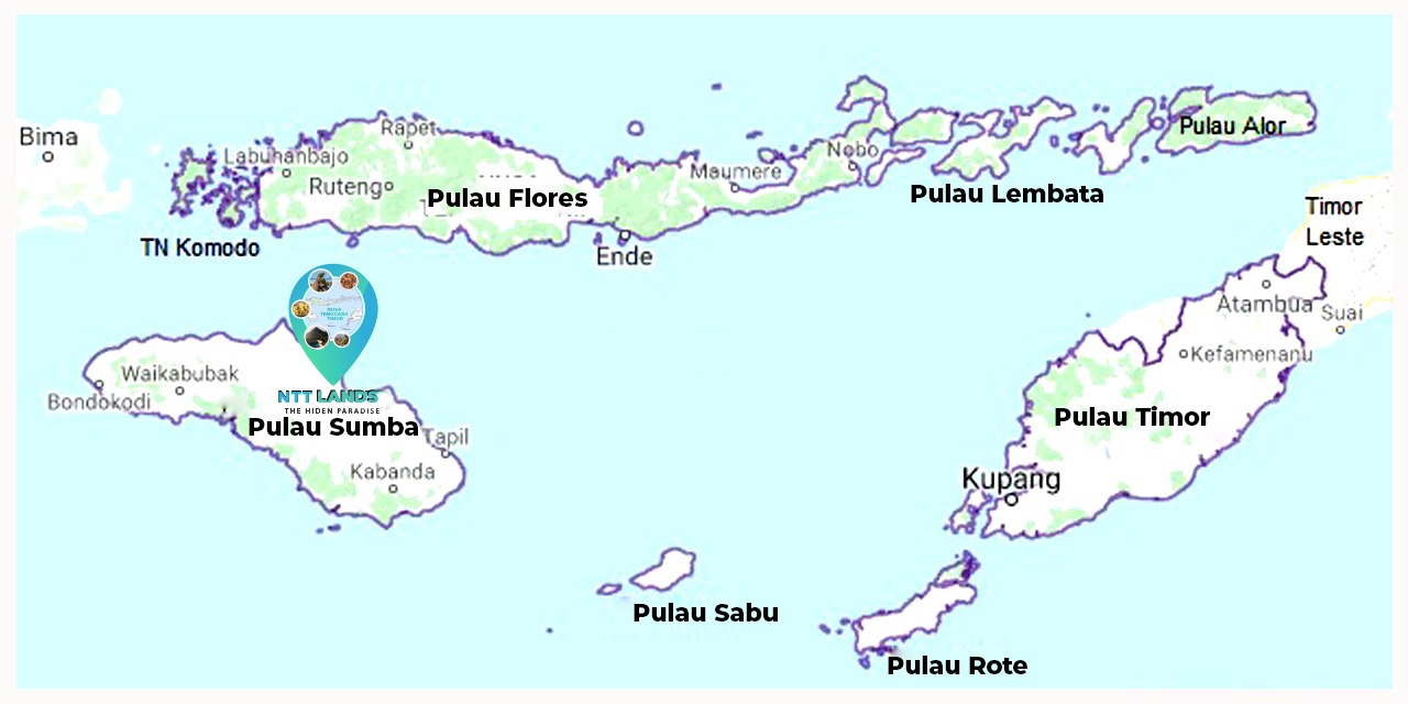
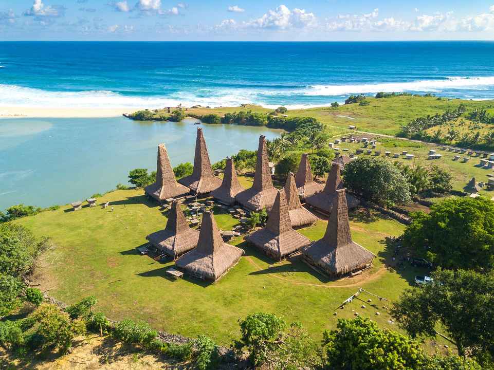
Sumba Island is an island located in the southern part of Indonesia, part of the territory in the province of East Nusa Tenggara, Indonesia. Sumba Island is one of the largest islands in the NTT archipelago, most of the Sumba Island landscape is dominated by grasslands.
Its area is 10,710 km², and its highest point is Mount Wanggameti (1,225 m). Sumba is bordered by Sumbawa to the northwest, Flores to the northeast, Timor to the east, and Australia to the south and southeast. The Sumba Strait is located in the north of the island. To the east lies the Savu Sea and the Indian Ocean to the south and west.
Sumba Island consists of four districts: West Sumba Regency, Southwest Sumba Regency, Central Sumba Regency, and East Sumba Regency. The largest city is Waingapu, the capital of East Sumba Regency. The city also has an airport and sea port that connects Sumba Island with other islands in Indonesia such as Sumbawa Island, Flores Island, and Timor Island.
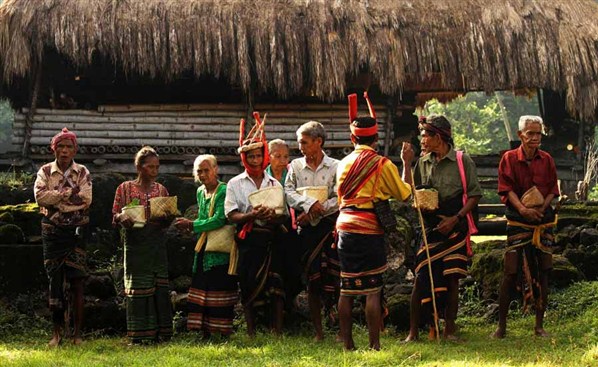
Before being visited by Europeans in 1522, Sumba was never occupied by any nation. Since 1866, the island was occupied by the Dutch East Indies and eventually became part of Indonesia. The population of Sumba is racially a mixture of the Mongoloid and Melanesoid races. Some of its residents adhere to Marapu's animist beliefs and Christianity, both Protestant and Catholic. Muslims in small numbers are found along the coast.